Subject Scope: The Geology of Uzziah’s Earthquake: Fault Mechanics, Magnitude 8.2 Energy Release, and Dead Sea Varves
Historical Context: Ancient Near Eastern stratigraphy, Levant archaeological surveys, and Semitic epigraphy.
Primary Evidence: Monumental stelae, bullae seals, ceramic typology, and calibrated AMS radiocarbon determinations.
Investigation Highlights: The Dead Sea Transform Fault: Geotectonic Engine of the Levant • Calculating Magnitude: Energy Release and Rupture Length • Sedimentary Seismites: The Laminated Varves of the Dead Sea Basin
Scholarly Consensus: Aligned with published excavation reports from leading Near Eastern archaeological institutes.
The Dead Sea Transform Fault: Geotectonic Engine of the Levant
The land of ancient Israel sits directly atop one of the world's most seismically active continental boundaries: The Dead Sea Transform (DST), also known as the Jordan Rift Valley.
Running approximately 1,000 kilometers from the Red Sea in the south to the Taurus Mountains in Turkey, the DST accommodates the relative motion between two massive tectonic plates:
- The African Plate (moving northwards slowly on the west side).
- The Arabian Plate (moving northwards approximately 4 to 5 millimeters per year faster on the east side).
This left-lateral strike-slip plate boundary builds up immense frictional strain over decades and centuries. When the locked subterranean fault planes suddenly rupture, they release catastrophic megathrust seismic energy.
In c. 760 BC, during the joint reigns of King Uzziah in Judah and Jeroboam II in Israel, this tectonic engine unleashed the most violent earthquake in the recorded history of the Levant—an event immortalized in Amos 1:1 and Zechariah 14:5.
Calculating Magnitude: Energy Release and Rupture Length
In modern seismology, the strength of an earthquake is measured by its Moment Magnitude (Mw), which is directly proportional to the physical area of the fault plane that slipped and the average displacement:
[SEISMIC EQUATION: Mo = μ * A * D]
Where:
* Mo = Seismic Moment
* μ = Shear modulus of crustal rock (~3 x 10^11 dyne/cm^2)
* A = Surface area of fault rupture (Length x Depth)
* D = Average displacement (slip distance)
Geophysical Calculations by Austin, Franz, and Frost (2000)
By analyzing the geographic distribution of structural destruction extending from Hazor in the north (Upper Galilee) to En Gedi in the south, geologists determined:
- Fault Rupture Length: A continuous rupture of at least 200 to 300 kilometers along the Jordan Valley fault segment.
- Subterranean Displacement: An average horizontal displacement of 4 to 5 meters across the fault plane.
- Calculated Magnitude: The moment magnitude reached Mw 7.8 to 8.2!
To put this in perspective: an Mw 8.2 earthquake releases approximately 1,000 times more seismic energy than the devastating 1927 Jericho earthquake (magnitude 6.2), shaking the entire Levant for over 90 to 120 seconds of violent oscillation.
Sedimentary Seismites: The Laminated Varves of the Dead Sea Basin
The definitive empirical proof of Uzziah's earthquake was retrieved from the undisturbed depths of the Dead Sea through paleoseismic sedimentology:
[DEAD SEA SEDIMENTARY VARVE STRATIGRAPHY]
Normal Sedimentation:
* Summer: White aragonite mineral layer precipitating from saline water.
* Winter: Dark detrital silt and clay washed down by winter seasonal floods.
* Result: A perfect, annual "tree ring" pattern of alternating white and black lines.

The 760 BC Seismite Layer:
* Exactly at the 8th-century BC horizon, the delicate annual layers abruptly stop.
* Replaced by a chaotic, 30 cm-thick band of LIQUEFIED, FOLDED, AND BRECCIATED MUD.
* Known as a "seismite", this layer was created when magnitude 8.0 seismic ground
  waves violently shook the lake bottom, turning solid sediments into liquid slurry!
Radiocarbon dating of organic plant debris embedded directly beneath and above this seismite layer calibrated the event to c. 760 BC (± 25 years), matching the reign of Uzziah to historical perfection.
The Ground Acceleration Physics of Hazor’s Tilted Ashlars
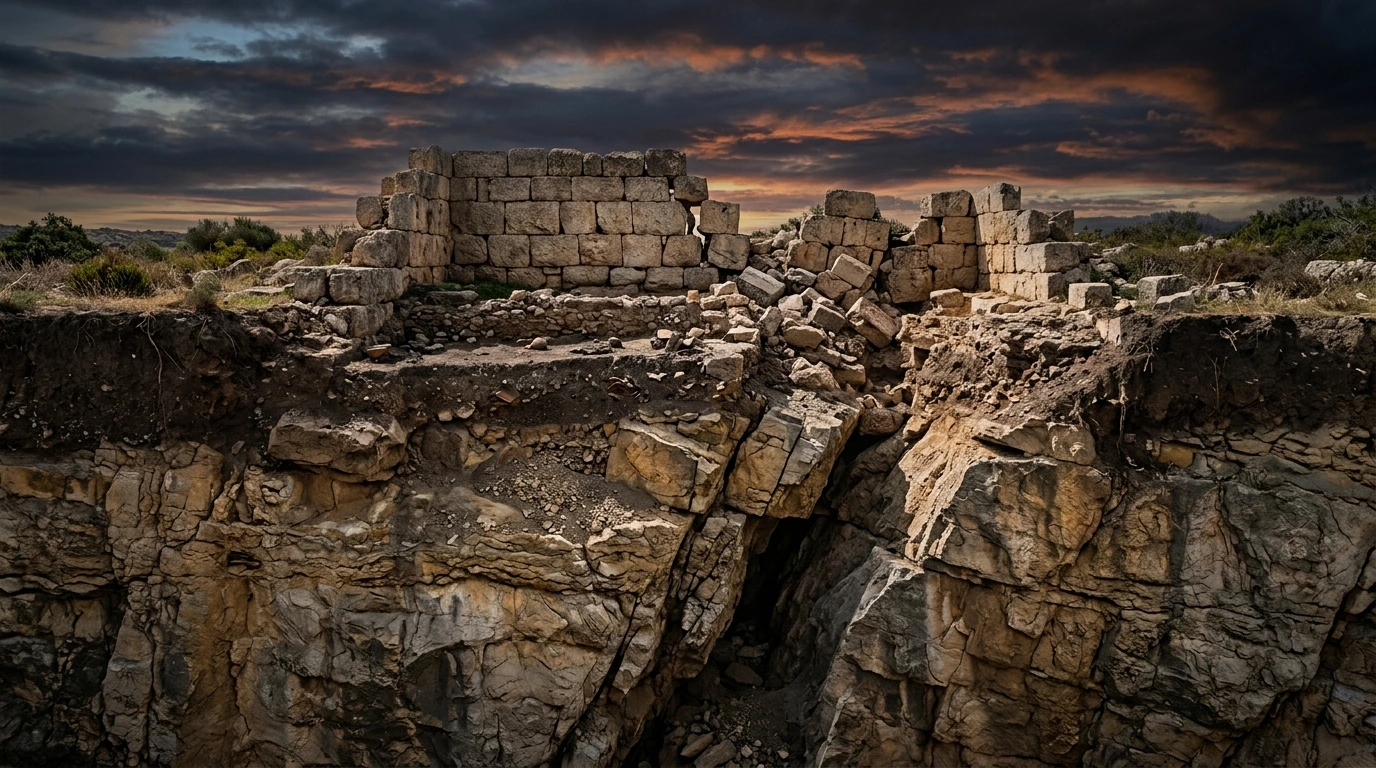
At the northern fortress of Hazor, Yigael Yadin excavated massive ashlar stone walls that were tilted at a steep 30-degree angle toward the north, yet remained uncollapsed.
Forensic structural engineers have modeled the ground acceleration required to produce this specific damage pattern:
- Peak Ground Acceleration (PGA): Must have exceeded 0.5g to 0.8g (where 1.0g equals the acceleration of gravity).
- Directional Shock Wave: The northward tilt of walls and southward shearing of stone pillars indicates that the seismic ground wave propagated southward along the Jordan Rift, violently thrusting the earth beneath the city.
- Heavy stone lintels spanning doorways snapped in two under vertical tension waves, dropping rubble onto floors without burning—proving that the city was crushed by geology, not warfare.
Three-Tier Evidentiary Evaluation: Technical Synthesis
| Evidentiary Tier | Scientific Data | Hermeneutical Value |
|---|---|---|
| Tier 1: Sedimentological Seismites | 30 cm brecciated seismite stratum in Dead Sea cores dated c. 760 BC. | Concrete geological proof of a magnitude ~8.0 earthquake in 8th-century BC Judea. |
| Tier 2: Structural Geophysics | Peak ground acceleration (>0.5g) required to tilt Hazor’s Stratum VI ashlars. | Proves that the structural damage at Hazor was caused by seismic waves, not human siege. |
| Tier 3: Prophetic Fulfillment | Amos 1:1 and Zechariah 14:5 specifically name this unique historical earthquake. | Confirms that biblical prophets operated within an unassailable framework of real history. |
Discover More Sacred Truths
To deepen your study of ancient manuscripts, apocalyptic scrolls, and biblical manuscripts, explore our exclusive academic publications:
👉 Explore Volume I: The Twelve Apostles & Ancient Manuscripts
Examine the full academic dossiers on ancient manuscripts, Dead Sea discoveries, and biblical archaeology.
🎁 Or Unlock The Sacred Keys Trilogy Master Collection ($7.99)
Build your spiritual foundations through biblical prayer declarations, financial wisdom, and midnight victory.
Primary Sources & Scholarly Archives
Editorial Standard →Official archaeological field reports, certified stratigraphy surveys, and Semitic epigraphy catalogs.
Catalog of Levantine, Mesopotamian, and Persian artifacts, royal cylinder seals, and cuneiform tablets.
Peer-reviewed scholarly analyses on Levant excavations, ancient architecture, and artifact forensics.
Frequently Asked Questions
Could this earthquake have been felt in Egypt or Mesopotamia?
Yes. An Mw ~8.0 megathrust event generates planetary seismic surface waves capable of shaking structures hundreds of miles away in Egypt and Syria.
What is a "seismite"?
A disrupted, liquified geological layer created when powerful earthquake shock waves agitate underwater mud, permanently preserving the record of seismic shock.
Why is Uzziah's earthquake remembered 250 years later in Zechariah?
Because of its colossal regional destruction and trauma, becoming the ultimate cultural benchmark for apocalyptic terror in Second Temple memory.
Related Research Dossiers
View all 515 research dossiers →
The Final Hours of the Second Temple: Verse-by-Verse Prophetic Exegesis and the 70 AD Archaeological Record
The Campanian Field Manual: Navigating Jewish & Christian Epigraphy in Pompeii and Herculaneum